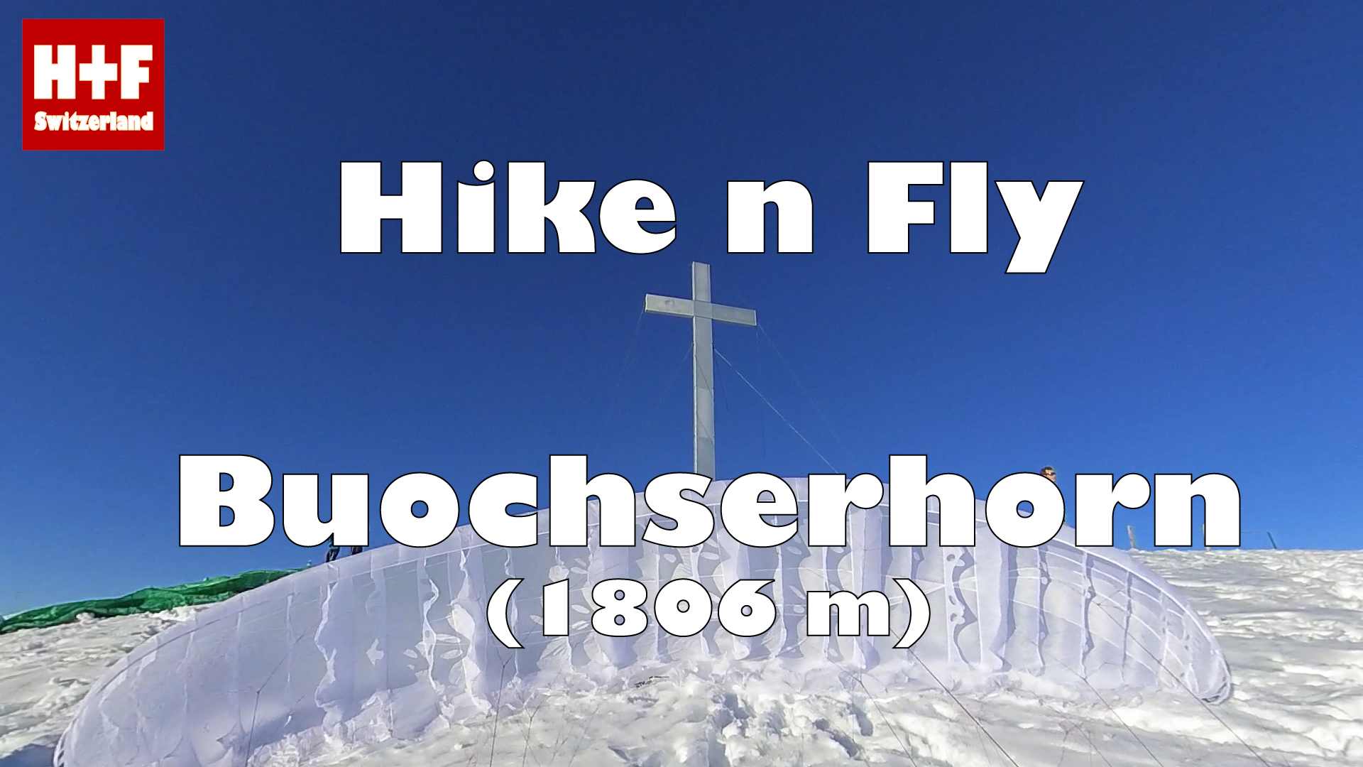

Starting from Niederrickenbach (take the cable car from Niederrickenbach Station train station to Niederrickenbach Dorf)
WHEN ?
Suitable wind directions: SE, S, SW or W.
Can be done all year round.
HOW ?
View on map.geo.admin.ch
Hiking track (kml-file / Earth)
Takeoff (kmz-file / Earth)
Flight (kmz-file / Earth)
Flight track at XContest
Landing (kmz-file / Earth)
POSSIBILITIES
In spring and summer there are good chances for thermalling or even xc-flying.
If there's valley wind, there are often good soaring possibilities at Wellenberg.
DANGERS & RESTRICTIONS
The Engelberg valley is notorious for its countless cables. Study the "Luftfahrthindernisse" map of map.geo.admin.ch (search for “air navigation obstacles”) and be VERY careful when flying low or near the slopes.
https://map.geo.admin.ch/?lang=en&topic=ech&bgLayer=ch.swisstopo.pixelkarte-farbe&layers=ch.bazl.luftfahrthindernis&E=2675379.25&N=1199864.00&zoom=5
Directly north of the summit begins the CTR of airport Buochs. If you understand german, read the detailed information sheet "Luftraum Zentralschweiz" from the "Schweizerischer Hängegleiter Verband" (SHV).
https://www.shv-fsvl.ch/fileadmin/files/redakteure/Allgemein/Sicherheit/Luftraum/CTRTMA/Luftraumtafel_Zentralschweiz_2014_A4_low.pdf
In case of doubt: stay south of Buochserhorn summit and Dallenwil.
MUSIC
Much Too Much - Zetandel