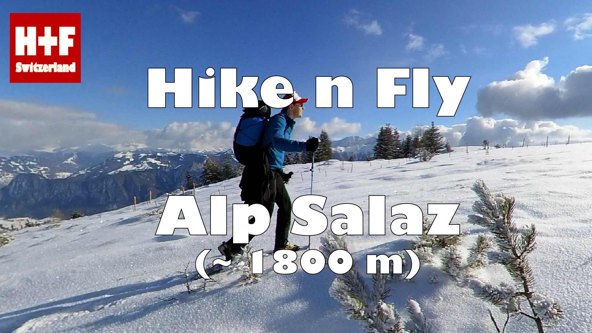

Starting from St. Margrethenberg (bus stop)
WHEN ?
Best starting directions on Alp Salaz: NE, E or SE. If you search a bit, you can also find launch sites for any other direction in the area. You can do this H+F all year round, however, do not fly into the Rhine Valley in strong valley winds (especially in the afternoon in summer).
HOW ?
View on map.geo.admin.ch
Hiking track (kml-file / Earth)
Takeoff (kmz-file / Earth)
Flight (kmz-file / Earth)
Flight track at XContest
POSSIBILITIES
Especially in spring, the chances are good for thermalling and XC flying. You could also fly into the Tamina valley and land in Vättis. A toplanding / stopover at the Calanda hut could also be appealing. However, you need thermal lift to do this.
DANGERS & RESTRICTIONS
Keep in mind that the Rhine Valley is very susceptible to "Föhn". In summer, the valley wind is usually too strong in the afternoon.
To the west of the take-off site is the Untervaz heliport (upper limit 1150m). Keep a distance of 2.5 km.
MUSIC
Brave Heart - Spacebeats Inc.